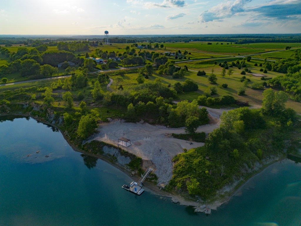
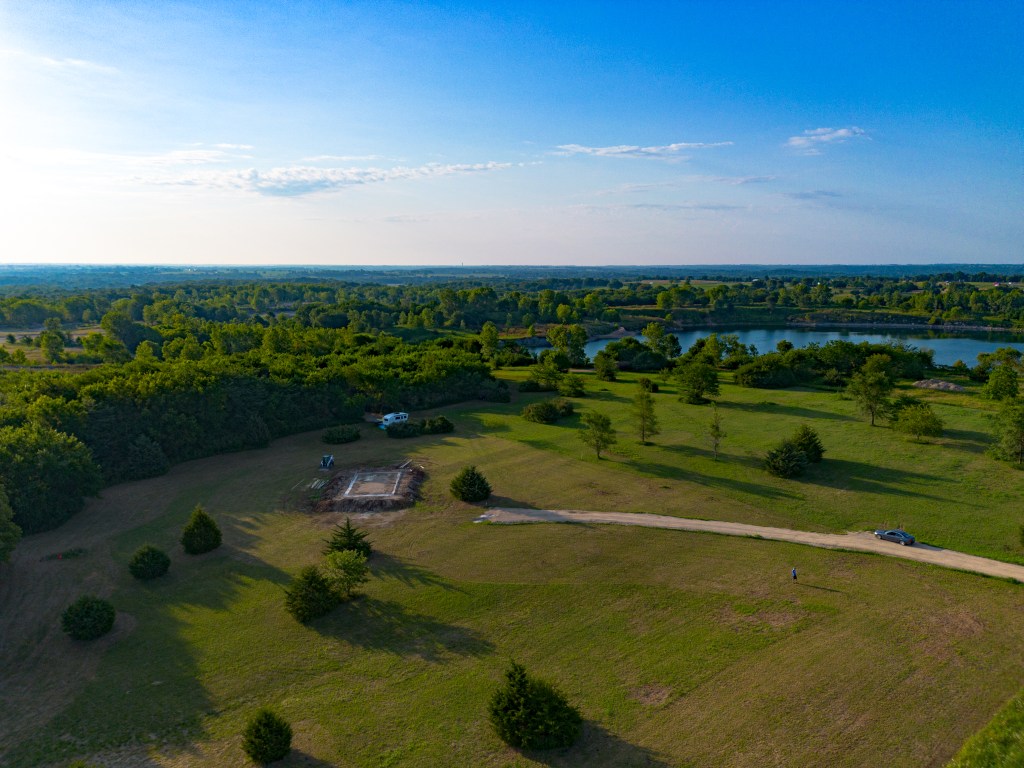
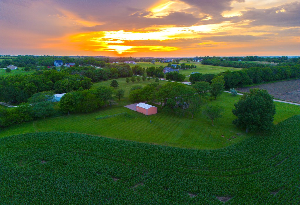
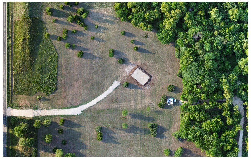
What is an Orthomosaic?
Many photos are captured over a given space and then combined into one large photo that maintains the detail of the individual photos. This can then be zoomed and manipulated to see detail as if you were right on top of it. Think Google maps and add a storm’s worth of detail!
Mapping
2D and 3D orthomosaic mapping of your property or building. Useful in gathering data such as tree height, lawn health, and building condition. Make measurements and calculate space for new construction, look for weeds, pinpoint dead trees in dense areas, and otherwise document your property.
Pricing
Priced by size and travel distance:
$0.17/mile traveled on mission
Small Plots (around 10 acres or smaller) – $50 2D / $80 3D
Medium Plots (around 10 to 20 acres) – $100 2D / $150 3D
Large Plots (around 20-80 acres) – $150 2D / contact for 3D
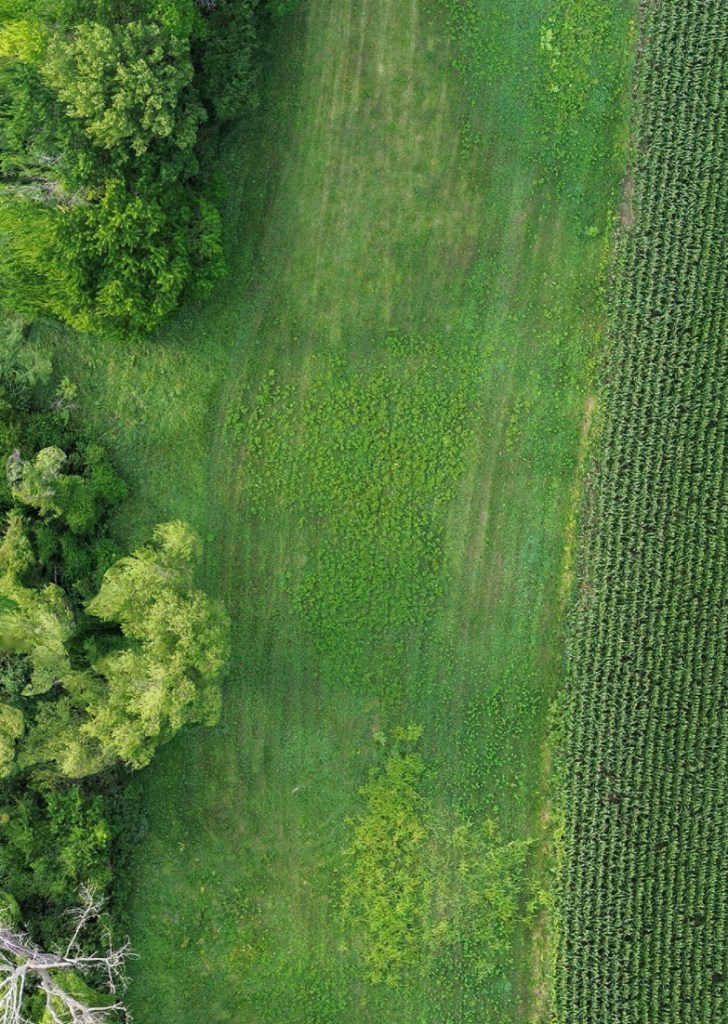
Field Data
Detailed 2D orthomosaic images of your field to allow for crop inspection and planning. Easily spot areas that need attention and share images with insurance, team members, contractors, for easy analysis and preparation. Please contact for pricing.
Stand Counts
Receive a 2D orthomosaic of your field as well as stand count data processed by AI. Useful for documentation and yield forecasting. Please contact for pricing.