
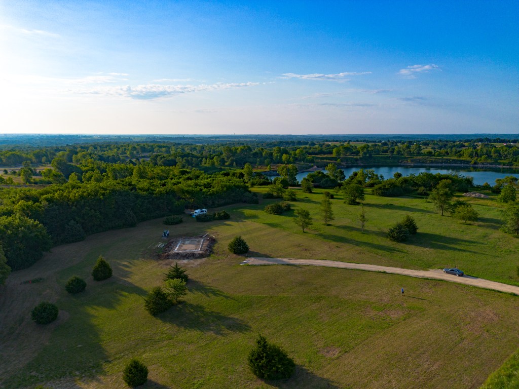
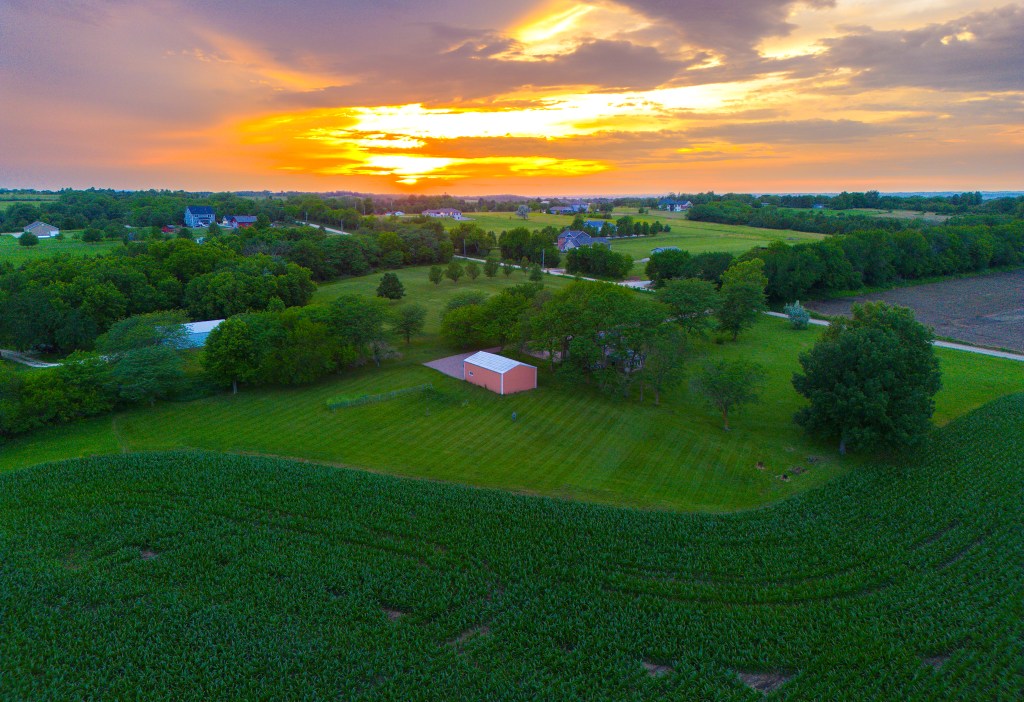
While photogrammetry is our focus over photography, sometimes we can’t help ourselves after the mission!
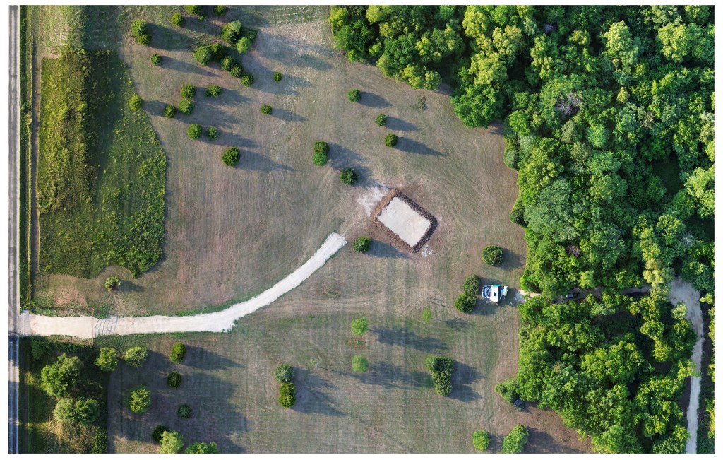
Track the progress of your farmland or homeland as it moves through the seasons or through a major change like new and old construction. Documentation of these events enhances the precision and enjoyment such projects!
For our contractor clients, construction timelapse and video updates can be a much more convenient way to share progress with those who may need to know as well as add excitement to advertisements online. A video is worth a thousand words in a description, lets get to it!
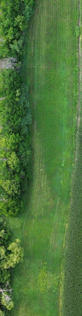
Precision agriculture takes many forms in modern times and you don’t need a fancy rig to get the most out of it. Detailed 2D orthomosaics can outline areas that need attention as well as document the condition of the field before and after action is taken. In the photo to the left, note how easy it is to differentiate the plant types , and notice the tire marks and dead trees. This is a small section of a large orthomosaic, almost 5 acres of narrow waterway.
For crop operations, we can deliver stand counts, crop health reports, and use those same 2D orthos as mentioned above to give you just one more piece of insight during critical growth stages. We dream someday to use drone carried multispectral cameras and Lidar to capture much more data that we can now.
